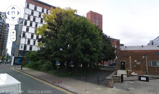
 Former location of the Union Club, Nicholas Street. (c) googlemaps.
These days there's not much of note on Mosley Street bar the Art Gallery and the incessant trams and buses, but in the 1800s it was a grand street with many churches, seats of learnings and clubs. For example, the 1849 map shows that walking up Mosley Street from St. Peter's Square you would pass the Custom House, College Buildings, Manchester Royal Institution, Mosley Street Chapel, Portico Library, The Assembly Rooms and the Royal Hotel. Halfway along Mosley Street where Nicholas Street intersects was the Union Club. Today a dull office block, back then a grand club comprising a a library, coffee room, washing room, reading, still room and most importantly, a bar. Note the Seven Oaks, seen above, is not in existence in 1849.
The Union Club, Nicholas Street, 1849. (c) Alan Godfrey Maps [1].
1. Manchester City Centre 1849, Alan Godfrey Maps (2008).


